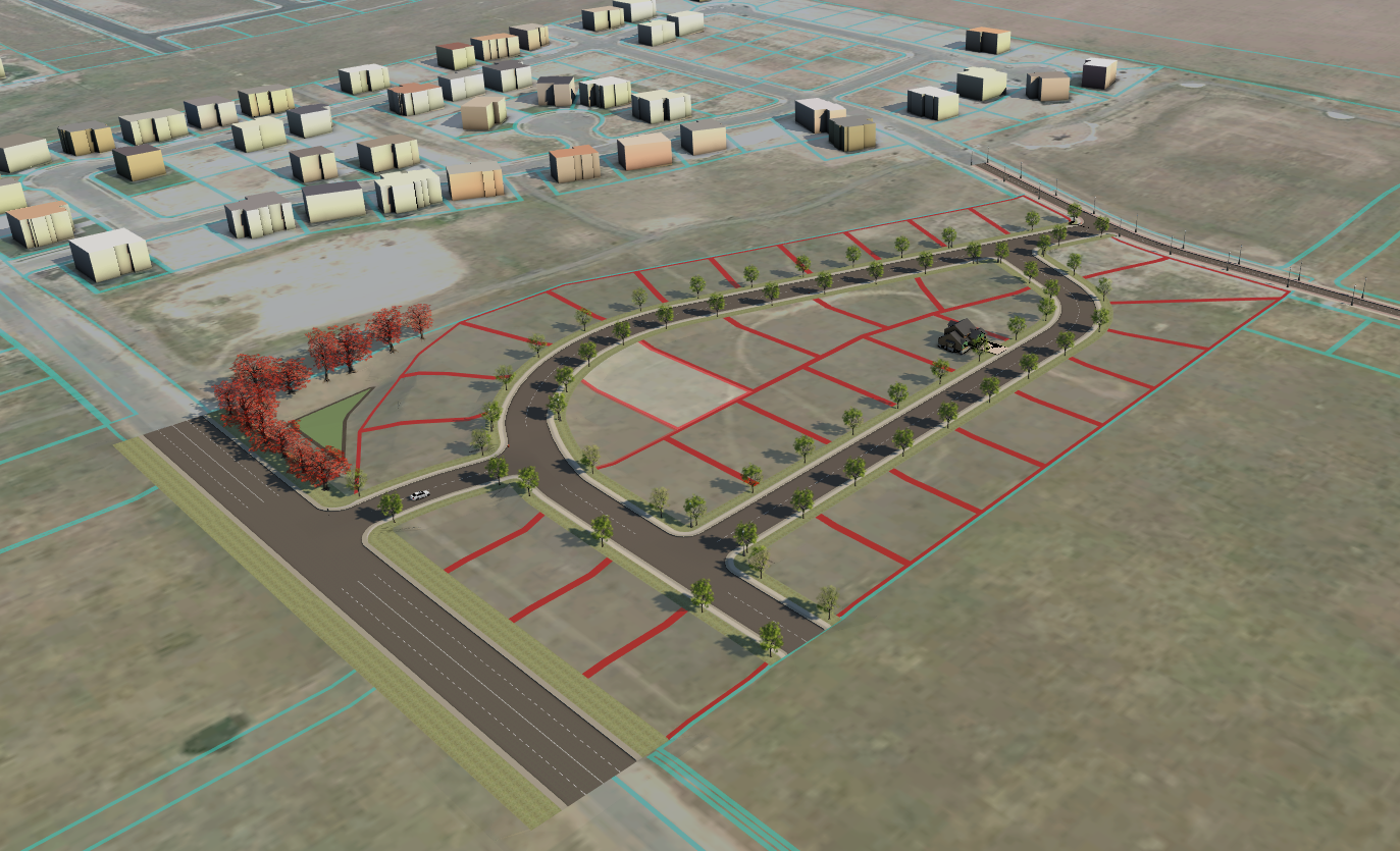
A precise and compliant plat is essential for approval and construction. We coordinate topographic surveys, boundary surveys, and utility surveys, then convert those data into engineered plats (lot lines, easements, rights-of-way). This ensures that your project aligns with legal, local, and engineering requirements.